What do you need to do to recharge your batteries? That’s the question posed by Egidio, in this week’s Lens-Artists Challenge. And my answer is the same as his: I need to get out, to surround myself with the natural world.
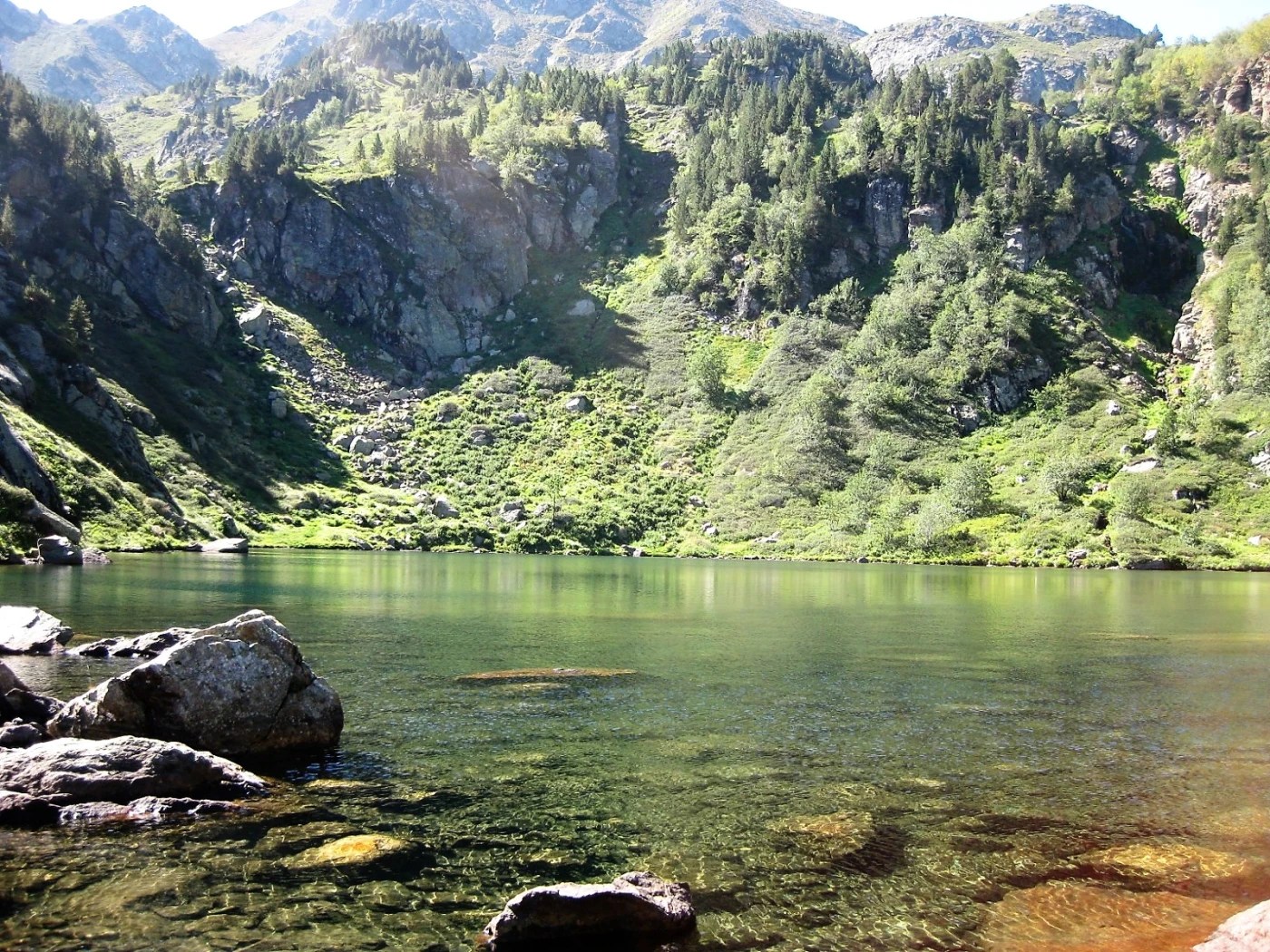
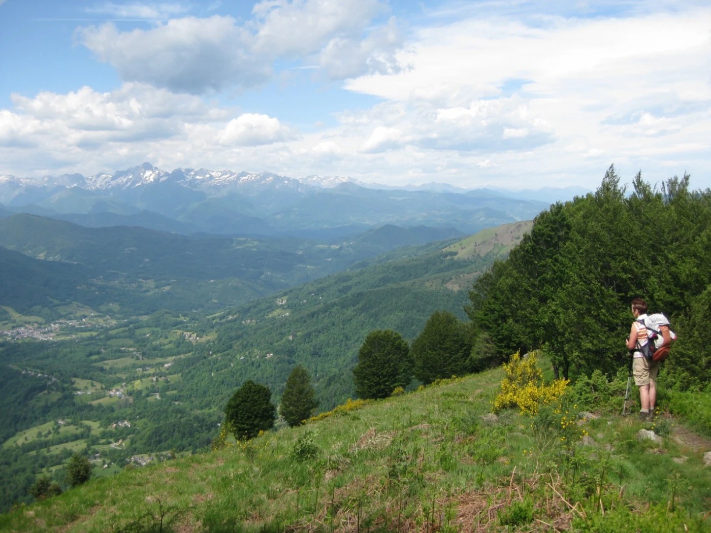
Living in France, in the foothills of the Pyrenees, the mountains grounded me in many ways. The sheer scale of them put me in my place – in a good way: reminding me how little my own concerns counted in the great scheme of things. Here’s a quiet scene from a lakeside high up the slopes not too far from our house.
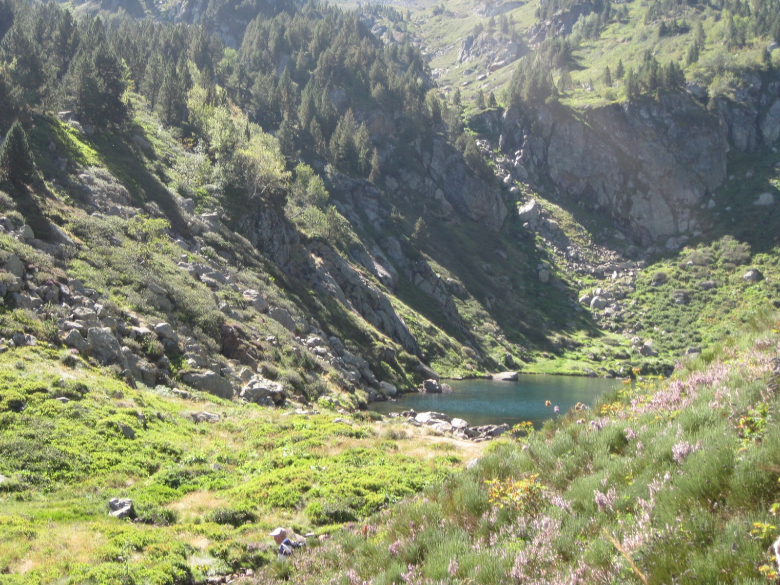
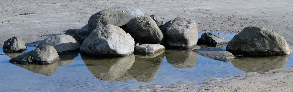
Or these, from le Cap du Carmil …
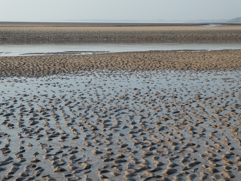
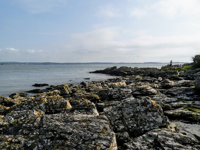
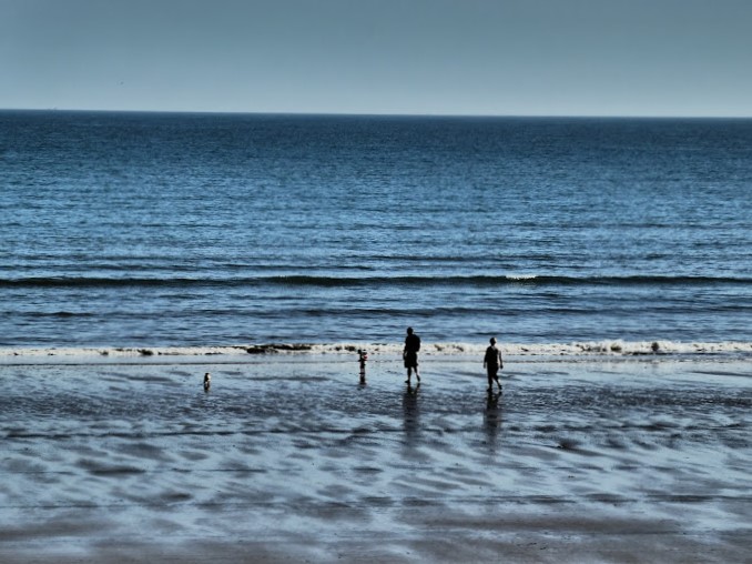
There, lakes provided the solace that being near water often provides. Back in the UK, it’s the sea.
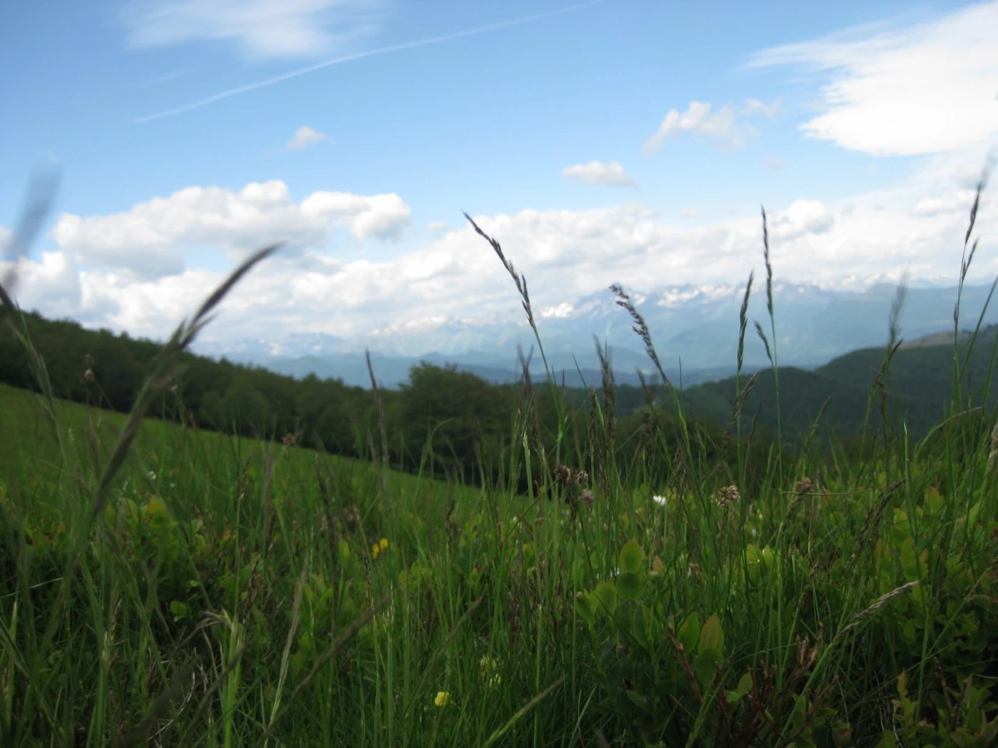
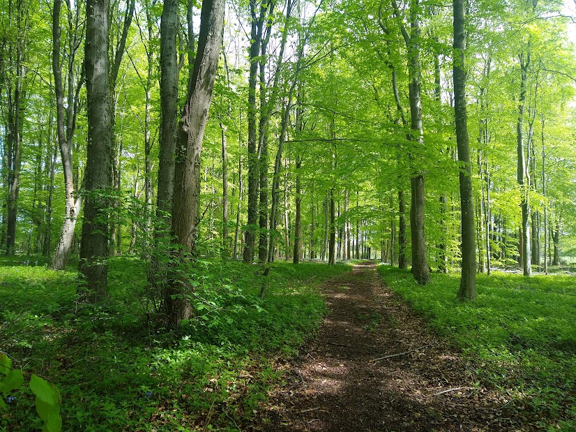
For the everyday recharge, it’s greenery, plain and simple. Local woodlands.
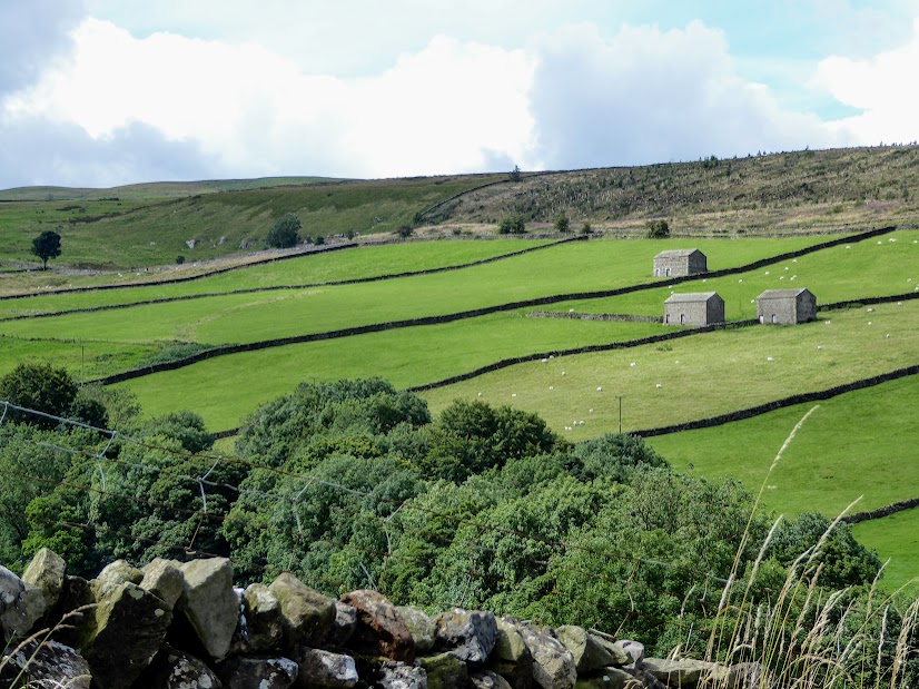
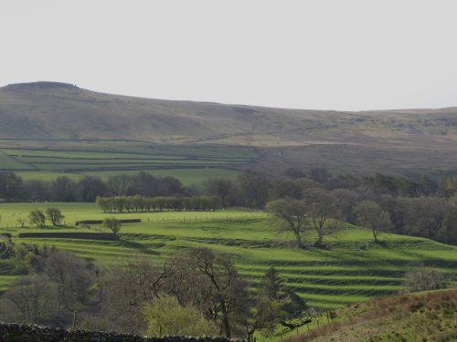
…or just a little bit more distant – Coverdale.
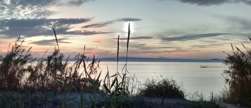
There’s just one place I need to mention though: one I’ve talked about before, more than once. A special afternoon and evening in l’Albufera, just beyond Valencia, where there is nothing but the lagoon, the sky, and wildlife … and peace. That’s my featured photo, and my best recharge ever.
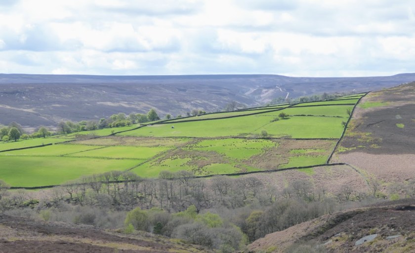
As you walk the fells, moors and dales of northern England, this is what you’ll see.
Masham Moor from Slipstone Crags.
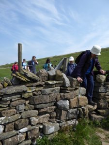
Miles and miles of drystone wall. In the Yorkshire Dales alone, there are some 8000 km. of wall, compared with only 990 km. of hedgerow, and 250 km. of fencing. These walls keep flocks of sheep contained upon a single fell. They provide a boundary between moorland heather and bracken, and more productive farmland. They divide one farmer’s plot into more manageable fields.
Off they march down the fellside, turning a corner and skirting the valley bottom, before cornering again to march back up. Or they’ll make snug little criss-cross squares in an ancient family farm. Well maintained or slightly ramshackle, they make Yorkshire and the Pennine counties instantly recognisable. Here’s a selection:
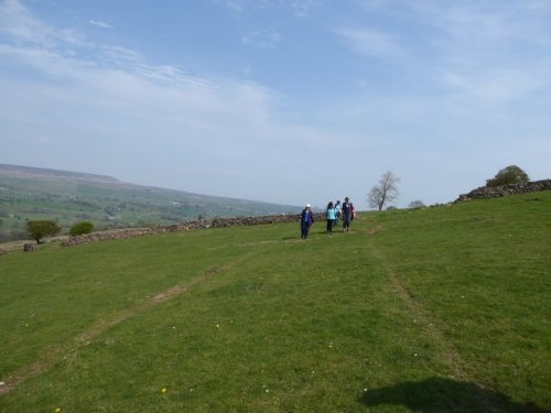
It was my turn to lead a walk on Tuesday. I chose Coverdale. Here’s why.
The River Cover, which gives the dale its name, wanders through an isolated corner of Wensleydale. Here you’ll find hamlets with intriguing names like Swineside, Horsehouse and Gammersgill, a few abandoned leadworkings, a great many sheep, and not much else. The principal settlement, Carlton, has 230 inhabitants and the main – the only – road to it is mainly single track. This is where we began our walk.
Here were hillsides, close-cropped by sheep. Here were ancient terraced field patterns showing that the area, even if lightly-populated now, has long been settled by farming communities. Here were narrow steep-sided gills sheltered by glades of trees. It offered a walk full of variety.
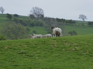
Sheep with her lambs.
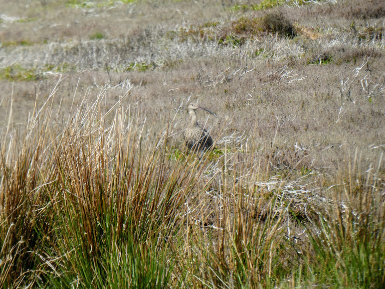
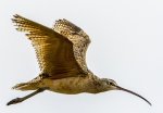
We yomped up and across meadows populated by those sheep and their curious, always hungry lambs, enjoying long-distance view across the fells. Curlews called above us.
Curlew – Wikimedia Commons
We climbed over wooden stiles, stone stiles, ladder stiles and through narrow-gap-in-the -stones-stiles. As we passed though woodland we sniffed the slightly acrid but appetising tang of early wild garlic.
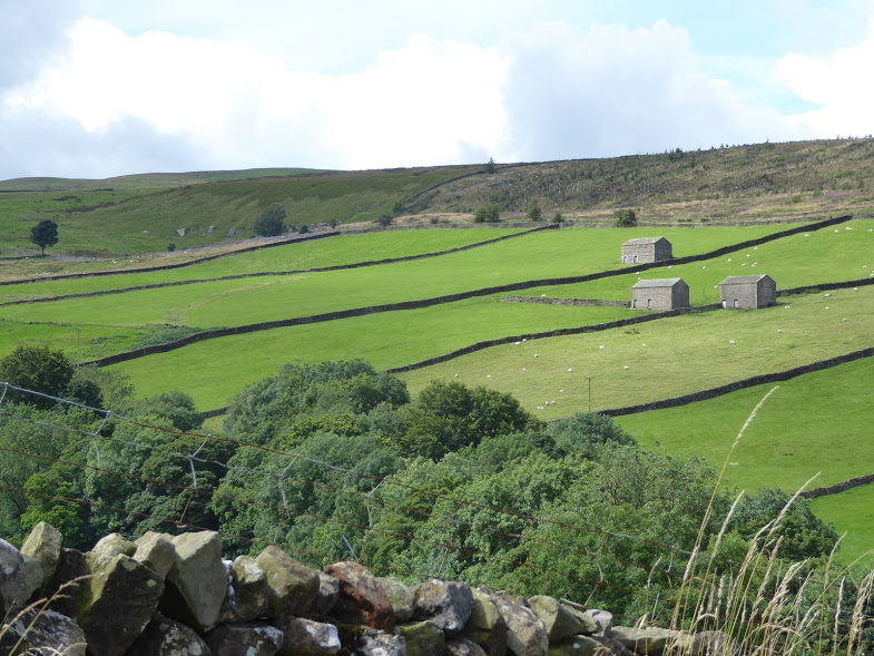
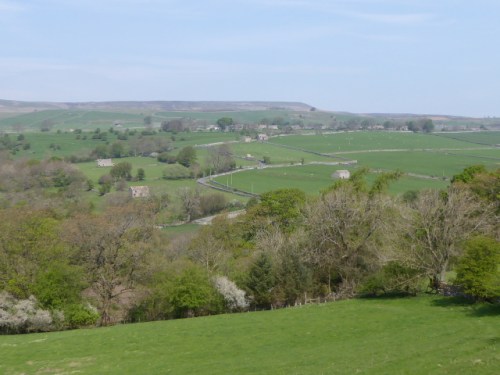
Our coffee-stop view across the valley. Those stone barns are typical of Wensleydale and Coverdale.
Soon we could see our half-way point on the other side of the valley. Horsehouse these days is a tiny collection of isolated homes. But it gets its name from the days when it was a really important staging post for those making the long journey from the north (even as far away as Edinburgh) to the south (London?).
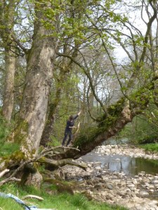
And once we’d crossed the River Cover, we were in woodland again. We found a grassy bank, complete with bluebells, tree trunks to sit on, fat white pebbles for the waters to tumble over: perfect comfort, perfect peace.
We had a young German guest, Felicia, with us for the day. You can see she’s 40 years younger than the rest of us. She’s climbing trees after the picnic.
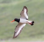
After lunch, curlews gave place to oystercatchers, with their smart black and white plumage and vivid orange beaks.
Oystercatcher – Wikimedia Commons.
And then we came to the point in the walk where the instructions read ‘Turn left at the last stile’. How mystifying. How can you possibly know which the last stile is till you’ve passed way beyond it and not found another? Ever-resourceful we found our way anyway, strode through Gammersgill, across a few final fields, and got to journey’s end not long before the day’s sunny warmth gave way to wind and showers.


You must be logged in to post a comment.