This time 54 years ago – more or less – I was sitting my O Level in Geography. Among other things, we studied the economic geography of England, interpreting Ordnance Survey maps, and a little elementary geology.

Our walk the other day would have made an excellent field trip. We were over in West Yorkshire, and our route from Gargrave took in sections of the Pennine Way, and quite a stretch of the Leeds and Liverpool canal.
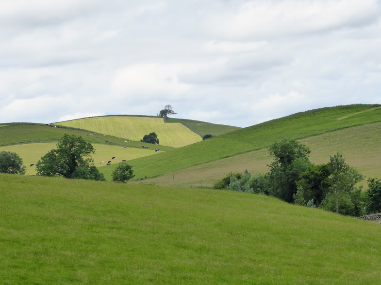
Map-reading wasn’t our problem, because John and Pat were competently leading us onwards. The hills weren’t a problem, because the slopes were relatively gentle. They were the drumlins which are a feature of the area.
O Level question: What are drumlins? Drumlins are elongated hills of glacial deposits. They can be 1 km long and 500 metres wide, often occurring in groups. They would have been part of the debris that was carried along and then accumulated under an ancient glacier. The long axis of the drumlin indicates the direction in which the glacier was moving. The drumlin would have been deposited when the glacier became overloaded with sediment.
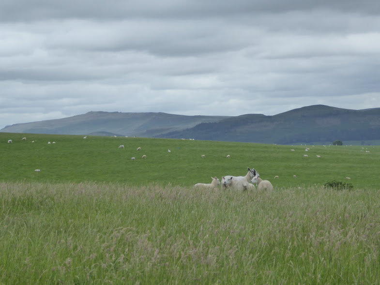
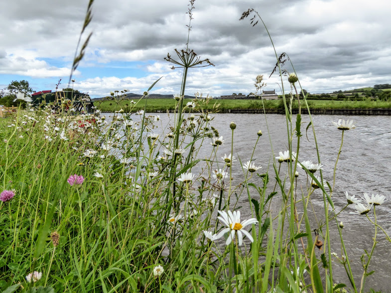
We walked through fields of cows, fields of sheep, and through woodland, emerging at lunchtime on the banks of the Leeds and Liverpool Canal.
O Level question: What is the Leeds and Liverpool Canal, and why was it built? The Leeds and Liverpool Canal is a canal in Northern England, linking the cities of Leeds and Liverpool. Over a distance of 127 miles, it crosses the Pennines, and includes 91 locks on the main line. It was built from 1770, and allowed textiles to be sent from the woollen towns of Yorkshire for export from Liverpool. Liverpool also required coal to fuel its manufacturing and shipping industries.

What an industrial thoroughfare it was then. Busy, dirty barges and narrow boats piled with goods moved between Yorkshire and Lancashire, where now there are only bucolic scenes and holidaymakers enjoying tranquil holidays slowly wending their way along the canal.
We watched as boats rose or descended through one, two, three, four, five, six locks to reach a different level of the canal. We marvelled at a section of our route along the canal towpath. We, and the canal itself, were travelling along a viaduct, and far below us were fields and a river. I couldn’t organise photographic proof. Soon after, we were back in Gargrave.


So there we have it. If only I’d done that walk when I was 16. I would hardly have had to do any geography revision at all.

You must be logged in to post a comment.